We have finished Folklore and I am grading final tests in between typing. I will have those back to the students Tuesday. Please make sure you see them and initial them. Every student should have brought home a Grimm Brothers Reading Passage and an Arachne the Spider Reading Passage last week to have signed. If you haven't seen them...
My goal is to have all those grades posted to Power School this week as well. If you have not yet received your password for Power School, please stop by the front office.
I have changed the 40 Book Challenge a bit. By having just one deadline (previously) students were waiting until the last minute. So, now we are breaking it up a bit. The first reading summary sheet is due this Tuesday. Students need to pace themselves to have 10 books completed by end of this 9 weeks.
Now, we are studying Black History Month. Everyone received a BINGO card. The first 2 projects are due by this Wednesday (they have known for about 2 weeks). In all, 4 boxes must be completed and students may work ahead. Unlike, regular BINGO they do NOT have to have 4 in a row. I'm trying to make it a bit easier by saying any 4 blocks at all are fine. Again, only 2 are due by Wednesday.
So far, we have discussed the Triangle Slave Trade. Students worked together to identify countries, discuss trade, and map out route.
Friday, I introduced the Underground Railroad and again students worked together to:
1. Find Positions 1 through 7 on the map. Place an “X” to mark each spot on the map.
2. Color the rivers blue on the map.
3. Trace the state borders along the dotted lines with a pencil.
4. Label the names of the states. DO NOT COLOR THE STATES!
5. Using a red crayon, connect the “X”s with a single line from south to north.
6. Color the free states purple, the slave states yellow, and Canada green.
7. Write the name of the state each of the seven positions are in on the chart above.
More Advanced Questions:
8. Find the approximate latitude of each of the seven positions and write your findings in the chart above.
9. Every degree of latitude = 60 miles. Using the latitudes you found in question 8, determine how many miles travelled to each position from the last. Add up the total mileage for a complete trip on the underground railroad. Remember, most of this trip was done walking. Think about what it was like to have to walk that far.
NOTE: 1st Block did not do this lesson yet because band students were playing for awards ceremony. We will do this lesson on Tuesday.
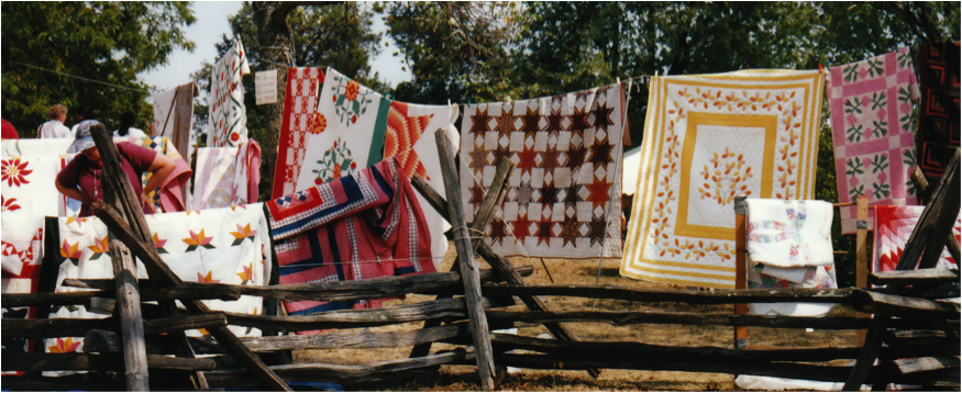
This week, we will continue with spirituals and slave quilts.

The following week we will study the Harlem Renaissance.

Thank you for all the donations to make these lessons happen!!
2. Color the rivers blue on the map.
3. Trace the state borders along the dotted lines with a pencil.
4. Label the names of the states. DO NOT COLOR THE STATES!
5. Using a red crayon, connect the “X”s with a single line from south to north.
6. Color the free states purple, the slave states yellow, and Canada green.
7. Write the name of the state each of the seven positions are in on the chart above.
More Advanced Questions:
8. Find the approximate latitude of each of the seven positions and write your findings in the chart above.
9. Every degree of latitude = 60 miles. Using the latitudes you found in question 8, determine how many miles travelled to each position from the last. Add up the total mileage for a complete trip on the underground railroad. Remember, most of this trip was done walking. Think about what it was like to have to walk that far.
NOTE: 1st Block did not do this lesson yet because band students were playing for awards ceremony. We will do this lesson on Tuesday.
This week, we will continue with spirituals and slave quilts.

The following week we will study the Harlem Renaissance.
Thank you for all the donations to make these lessons happen!!
No comments:
Post a Comment